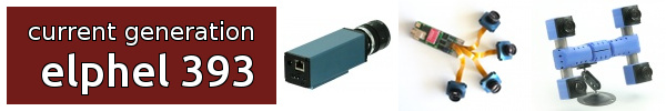
Test Tasks
From ElphelWiki
Revision as of 12:46, 13 September 2012 by Oleg (talk | contribs)
Contents
Area: IMU Data Processing
About
"An Inertial Measurement Unit (IMU) is an electronic device that measures and reports on a craft's velocity, orientation, and gravitational forces, using a combination of accelerometers and gyroscopes, sometimes also magnetometers..." © Wikipedia
We use ADIS16375 (fully compatible with ADIS16488) that has a tri-axis gyroscope and a tri-axis accelerometer.
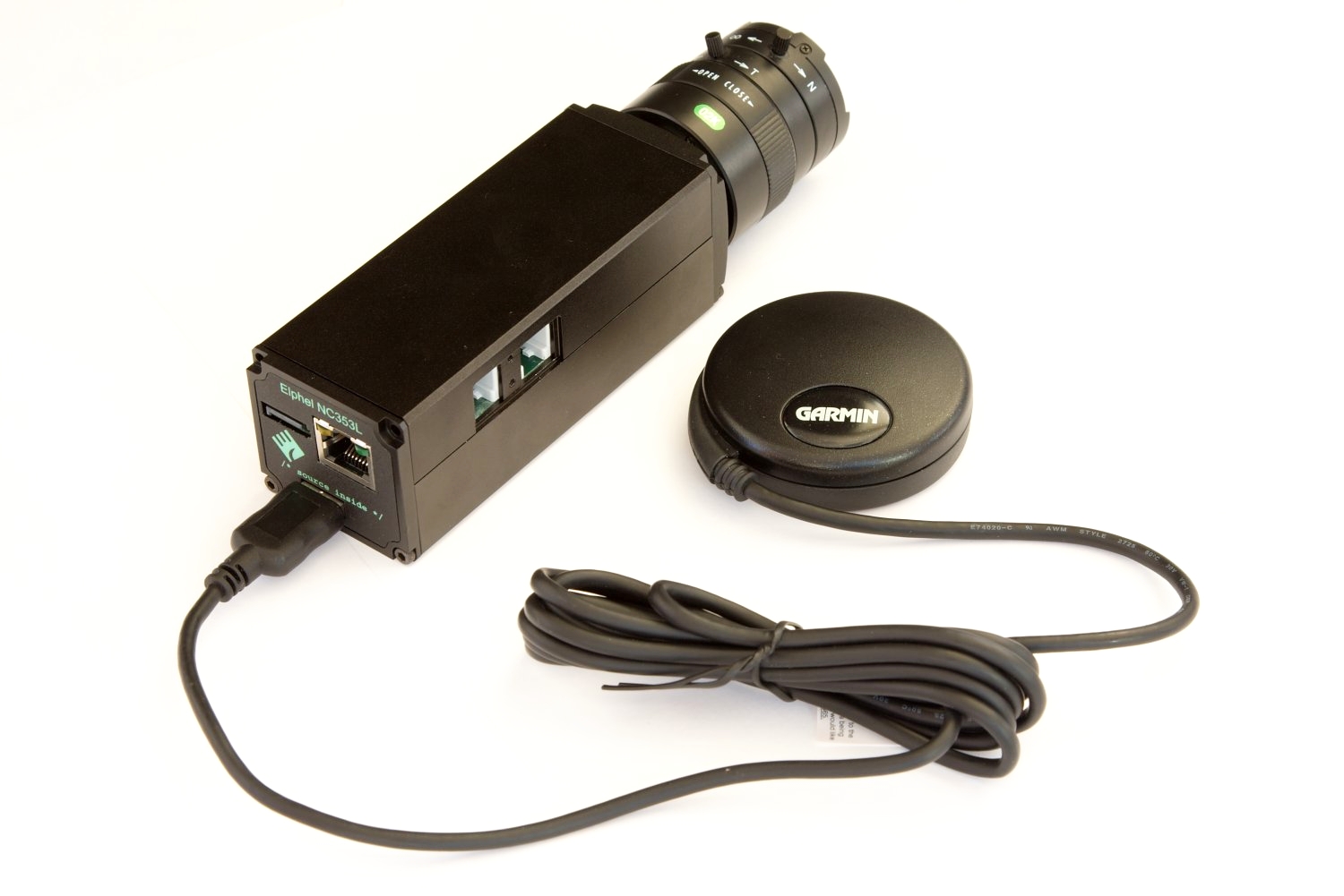
 IMU, ADIS16375 in NC353L-369 camera |

- What we need (brief)
Test Task 1: Parsing Data
Test Task 2: Finding IMU Parameters
Test Task 3: Finding the camera orientation
Test Task 4: Reconstructing camera rotation during the sensor scan
Retrieved from "importwiki?title=Test_Tasks&oldid=12418
|
NC353L-369-GEO is a model 353 series camera for making geotagged video and images. Features:
|
|
Elphel 353 Camera Brochure Elphel 353 Camera Brochure KIT-NC353L-369-GEO Price list |